Transit and commuting in Lowertown
Rideau station on O-Train Line 1 is about 0.7 km from Lowertown West and 1.2 km from Lowertown East, measured in a straight line.
The O-Train does not run through the Lowertown area yet: Rideau station, just east, is the western end of Line 1.
Updated · Facts on this page link to their sources
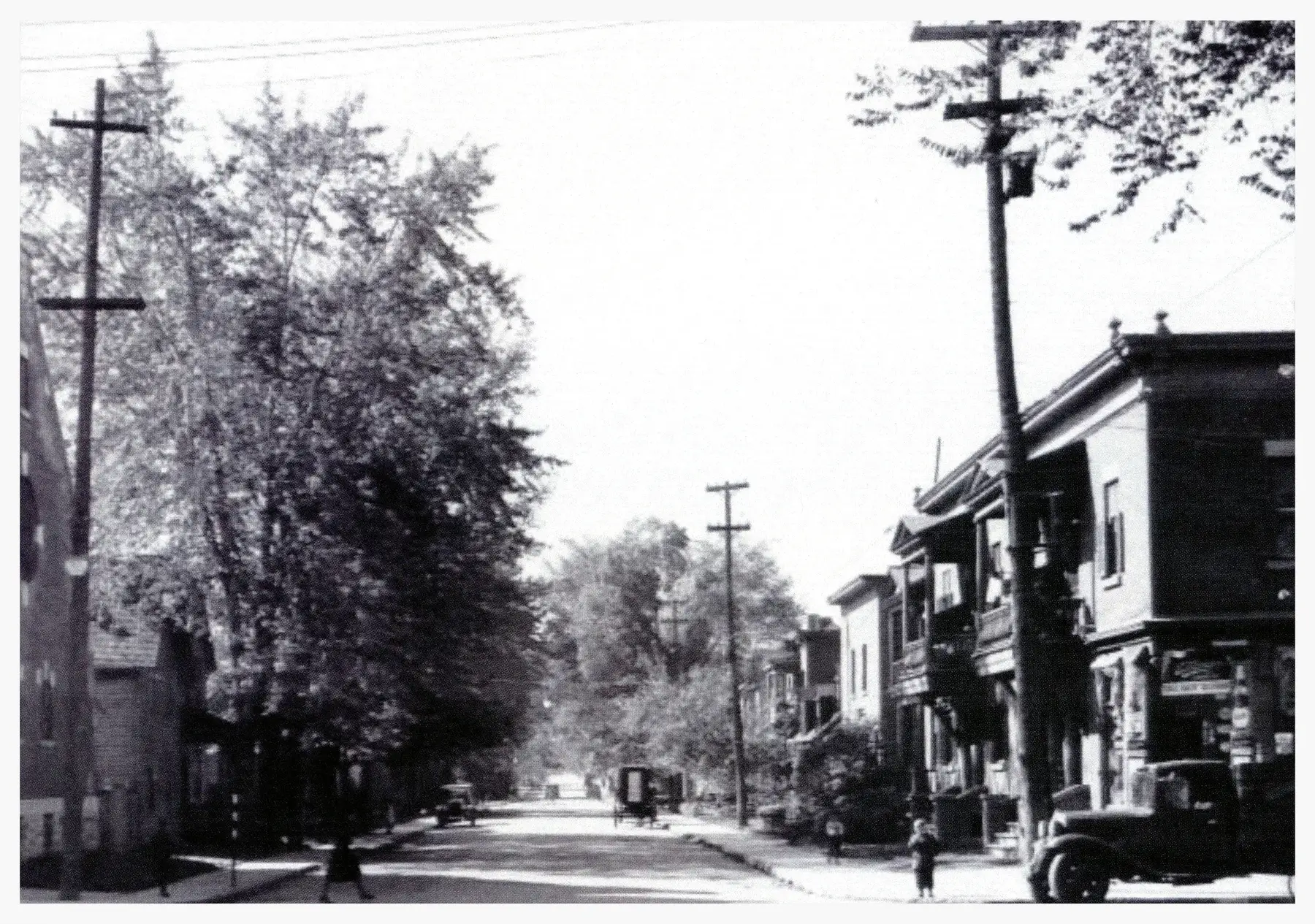
Other nearby stations in the data are MacKenzie King Transitway station (about 0.9 km from the West) and Laurier North Transitway station (about 1.2 km from the East). Parliament station on Line 1 is about 1.2 km from the West, and uOttawa station is about 1.6 km from the East. Lowertown West is about 1.0 km, and Lowertown East about 1.8 km, in a straight line from Parliament Hill.
In the 2021 census, via the Ottawa Neighbourhood Study, 37.9% of Lowertown West workers walked to work, 35.5% went by car and 17.9% by public transit. In Lowertown East, 45.1% went by car, 24.2% by public transit and 23.2% on foot.
Transit near Lowertown
O-Train stations
4Rideau station
O-Train Line 1
OpenIn Lowertown Westwikidata.org en.wikipedia.org
Lyon station
O-Train Line 1
Parliament station
O-Train Line 1
uOttawa station
O-Train Line 1
Transitway stations
10Bank North station
Transitway / transit station (City of Ottawa transit stations layer)
Openmaps.ottawa.ca
Bank South station
Transitway / transit station (City of Ottawa transit stations layer)
Openmaps.ottawa.ca
Campus station
Transitway / transit station (City of Ottawa transit stations layer)
Openmaps.ottawa.ca
Kent North station
Transitway / transit station (City of Ottawa transit stations layer)
Openmaps.ottawa.ca
Kent South station
Transitway / transit station (City of Ottawa transit stations layer)
Openmaps.ottawa.ca
Laurier North station
Transitway / transit station (City of Ottawa transit stations layer)
Openmaps.ottawa.ca
Laurier South station
Transitway / transit station (City of Ottawa transit stations layer)
Openmaps.ottawa.ca
MacKenzie King station
Transitway / transit station (City of Ottawa transit stations layer)
Openmaps.ottawa.ca
Metcalfe North station
Transitway / transit station (City of Ottawa transit stations layer)
Openmaps.ottawa.ca
Metcalfe South station
Transitway / transit station (City of Ottawa transit stations layer)
Openmaps.ottawa.ca
Quick answers
Short answers first; each links to the full answer and its sources.
How far is Lowertown from downtown Ottawa?
The centre of Lowertown West is about 1.0 km from Parliament Hill, and the centre of Lowertown East is about 1.8 km, both measured as the crow flies. Actual walking, cycling or transit distances will be longer and depend on the route.
As of 2026-10 · en.wikipedia.org
Is Lowertown on the O-Train?
Lowertown is close to O-Train Line 1 but has no station of its own in the data used for this guide. Rideau station is about 0.7 km from the centre of Lowertown West and 1.2 km from the centre of Lowertown East, measured in a straight line.
As of 2026-10 · wikidata.org wikidata.org
What is the nearest O-Train station to Lowertown?
Rideau station on Line 1 is the nearest O-Train station to both parts of Lowertown. It is about 0.7 km from the centre of Lowertown West and about 1.2 km from the centre of Lowertown East, measured as the crow flies.
As of 2026-10 · wikidata.org wikidata.org
How do people in Lowertown get to work?
In the 2021 census, via the Ottawa Neighbourhood Study, Lowertown West workers most often walked (37.9%) or went by car (35.5%), with 17.9% using public transit. In Lowertown East, 45.1% went by car, 24.2% by public transit and 23.2% on foot.
As of 2026-10 · ons-sqo.ca ons-sqo.ca
Is Lowertown walkable?
The Ottawa Neighbourhood Study's neighbourhood-average Walk Score is 58 for Lowertown West and 71 for Lowertown East. In the 2021 census, 37.9% of Lowertown West workers and 23.2% of Lowertown East workers commuted on foot.
As of 2026-10 · ons-sqo.ca ons-sqo.ca
Is Lowertown good for cycling?
The Ottawa Neighbourhood Study's neighbourhood-average Bike Score is 95 for Lowertown West and 96 for Lowertown East. In the 2021 census, 3.3% of West workers and 3.9% of East workers commuted by bike.
As of 2026-10 · ons-sqo.ca ons-sqo.ca